
Last month I entered my GPS running route map of Bath into the MapInfo MapHero competition.
I entered the map into the “Map for Fun” category and was surprised to hear I won first prize, a Microsoft Surface tablet! Pretty chuffed with that since the last competition I won was a colouring in competition at primary school -which is kinda what I did here too.
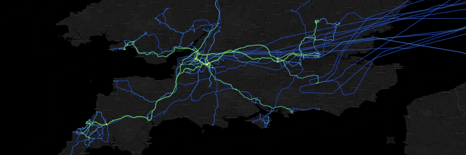
The map consists of around 1,000 crowd sourced running routes which I scraped from MapMyRun.com. The routes, originally in KML format, were converted into MapInfo TAB format and laid on top of the city of Bath boundary which was sourced from Ordnance Survey’s Boundary-Line OpenData.
That’s all there was to it really – not bad for a few hours work 😀
An interactive version can be found here http://nadnerb.co.uk/map/
Recent Comments