The Environment Agency recently released their LiDAR as Open Data meaning it is now free to use and without restrictions. You can read a bit more about that here. For those unfamiliar, LiDAR, which stands for Light Detection and Ranging,…
Blog Archives
Bath:Hacked 2.1 and HistoryMap
I recently took part in Bath:Hacked 2.1, a hackathon where 50 ish people were locked* in a room for 36 hours with a bunch of open data and asked to produce something useful or interesting to the people of Bath.…
MapInfo MapHero winner!
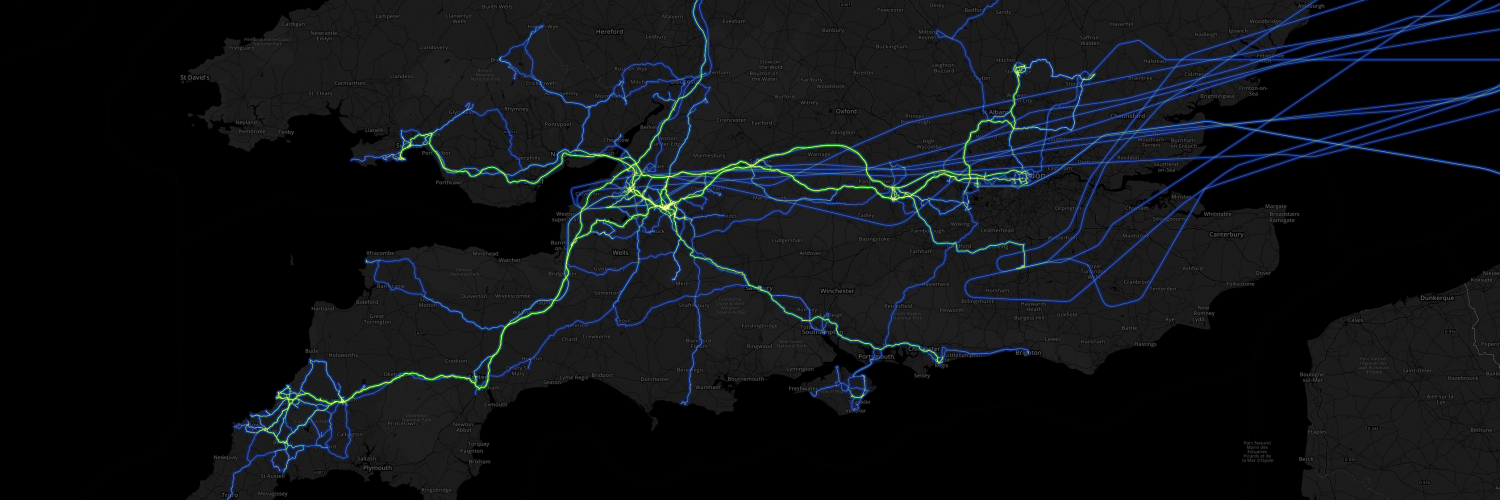
Last month I entered my GPS running route map of Bath into the MapInfo MapHero competition. I entered the map into the “Map for Fun” category and was surprised to hear I won first prize, a Microsoft Surface tablet! Pretty…
Posted in GIS
Tile server basemaps for MapInfo
Ever needed a stylish basemap to display under some map data but have no idea where to look or how to even get it into MapInfo? Well worry no more, try this: With the click of a button you can…
Recent Comments